Charles Scott Gallery
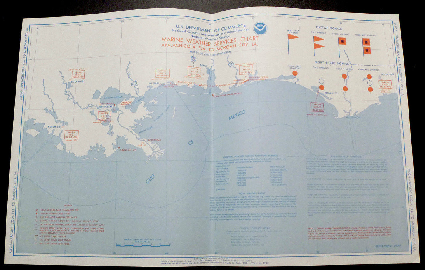
Antique MAP Nat'l Weather depth chart Apalachicola, Florida to Morgan City, L.A.
Antique MAP Nat'l Weather depth chart Apalachicola, Florida to Morgan City, L.A.
Couldn't load pickup availability
NOAA National Weather Service nautical Marine Weather Services Chart Beautiful Blue and Red Antique US Department of Commerce
Apalachicola, FLA to Morgan City, L.A.
Now we're experts in many things - but not of the nautical sort. Even so, we've acquired a group of antique and beautiful nautical charts.
This part of the grouping are all weather charts - all 19" x 12", all red and blue.
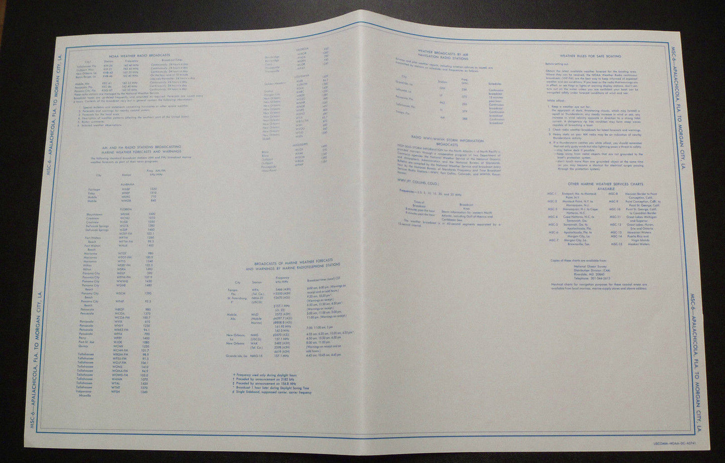
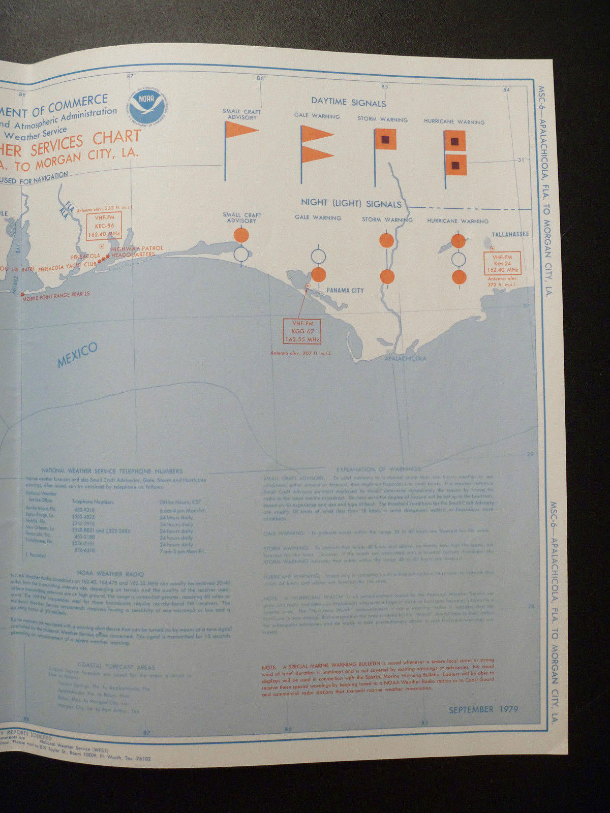
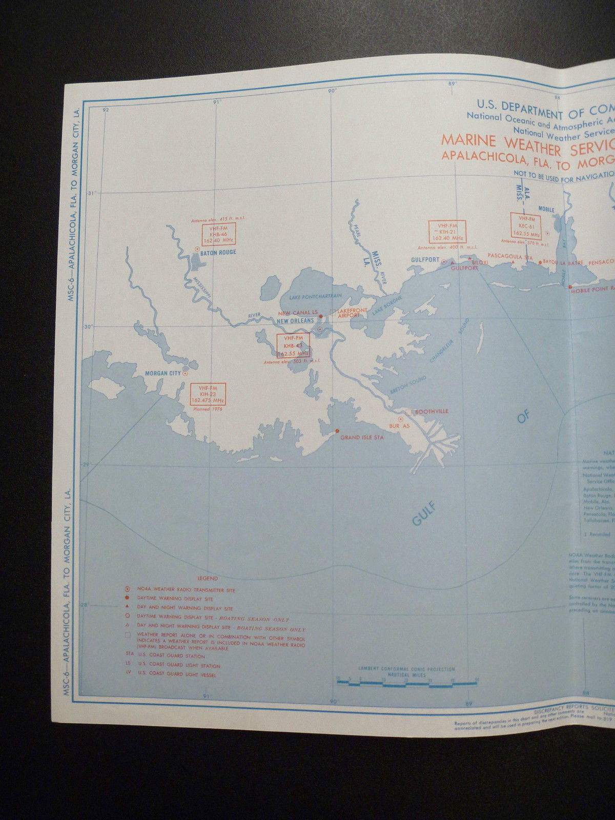
This chart is dated "September 1979" so it's is over 30 YEARS OLD. This one is MSC-6. USCOMM-NOAA-DC-A5741. It basically lists all the weather stations, FM channels, buoys, transmitters, stations, etc. These are in good condition other than a very slight yellowing that is only slightly more pronounced at the edges and of course the center fold - which may have additional folds near the edges. The center fold is also a gradual one - so it may be possible to eliminate it with framing. There may be slight blemishes we missed.
The back side of the map has a text listing of stations and their frequencies, etc. Most interesting on this map is the daytime flag symbols on the front. Thick paper.
Size: 19" x 12"
Shipping cost includes insurance and Priority Mail


